This project, titled ‘Following the Flood: Identifying sources of environment contaminants in the North Burnett subcatchments post Cyclone Oswald‘ was funded under the Queensland Government’s Everyone’s Environment Grant program and ran from December 2013 to December 2016. The project used historical data, gathered in the past by a previous BCCA water quality monitoring project, as well as other data sourced from state and local government and the Burnett Mary Regional Group. These previous results formed the baseline for water quality in the Burnett Catchment over recent years, and were used to compare the impact of the floods and to capture information on what may have washed during the floods of early 2013.
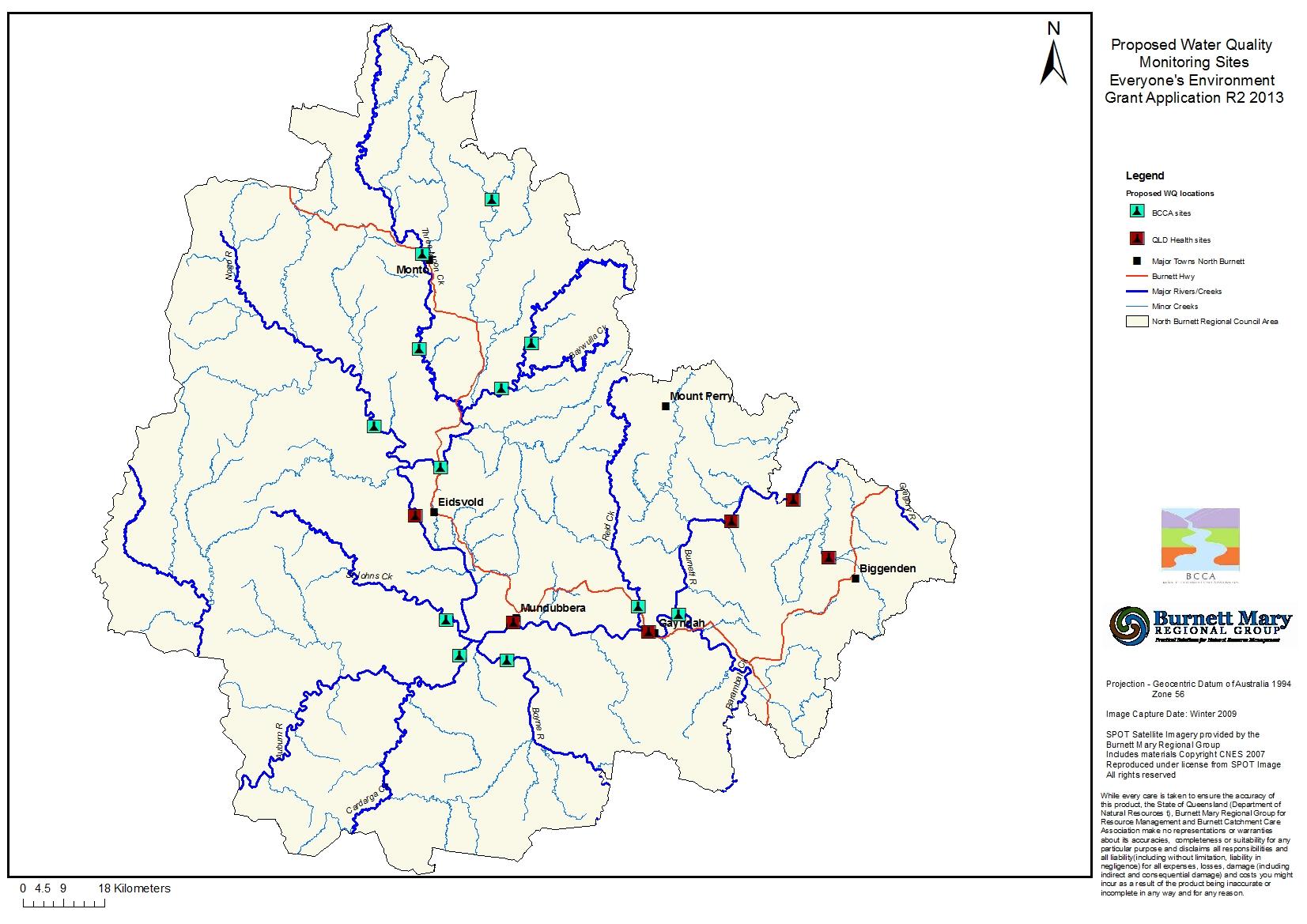
Most sites sampled in previous BCCA water quality monitoring projects were used again with this project. It includes 12 sites along the Burnett River and tributaries between north of Monto to Gayndah.
Significantly the project used accurate laboratory analyses of water samples taken from a number of different sites in the upper reaches Burnett River and several of it’s major tributaries.
The last of the water samples were collected in early 2017, from the twelve sites and a final report created.
For more information on this project, please contact the BCCA office.